
Special Recognition: Mobility Data from MetroTech
MOBILITY DATA FROM METROTECH
by Christian Kotscher
PROBLEM STATEMENT
Lack of accurate, timely data feeds congestion. Most signal-timing systems are not driven by real-time traffic measurements. Precise data is unavailable and predictive data based on historical averages, not accurate trends. Yes, state and local governments are investing in fiber networks and deploying more sensors and cameras. But even if a single metro entity did deploy a cloud-based Internet of Things (IOT) exchange to store and analyze the data, the system would not include data from surrounding jurisdictions. The problem, then, is both lack of data and siloed data.
SOLUTIONS
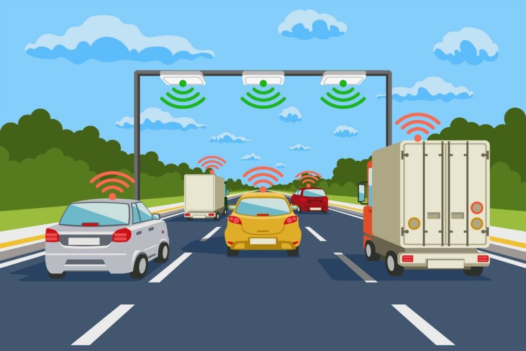
Connected/Autonomous Vehicles (CAVs) will require better information to increase safety and efficiency. Sensors will need to be synchronized to coordinate with mobile devices in both time and location. The type of coordination required will encompass whole ecosystems. The solution MetroTech suggests is about organizational innovation as much as technological application. The theory that unites the following solutions, some of which MetroTech already deploys, is that many sensors will need to be integrated across multiple systems. Wireless, cloud computing, IoT, Big Data, etc., will all have to be incorporated into the infrastructure to keep up with the hyper-evolving CAV industry.
1 – Leverage Existing Infrastructure for Better Signal Timing
To date roadside video is used to see what happened, not help predict what will happen. Santa Clara County (CA) has over 500 cameras producing more than 700 Terabytes of video daily. The MetroTech RTT server analyzes the video, producing real-time traffic counts and speeds to change signal-timing patterns.
2 – Traffic Safety Alerts
The start of congestion after an accident, or a hazard like a wrong-way driver, is best captured and measured by sensors in the infrastructure. MetroTech has deployed pilots where existing cameras were used for identifying suspected wrong-way drivers. The data were processed to avoid false alarms, confirmed wrong-way drivers tracked by other nearby cameras, and safety alerts sent to connected vehicles and apps to warn drivers or autonomous vehicles. Following the example of Amber Alert, MetroTech’s solution could broadcast wrong-way driver alerts, road closures, evacuation instructions, and other information to mobile devices or connected vehicles in an affected area.
3 – The Digital Streets Platform (DSP)
MetroTech’s DSP, functioning regionally, will ingest IOT data from multiple infrastructure owners through a transparent information exchange. The sensor data will be normalized and analyzed before being broadcast over various networks to both drivers and autonomous vehicles as maps or as dashboards that can depict lane-level volume, speed, and headway. The network types include V2X, CV2X, and Satellite.
4 – The Autonomous City Safety Network (ACSN)
The ACSN is the suggested name for a nationwide network that would take information from exchanges, such as the Digital Streets Platform, and put it into a standard that all CAVs could access, allowing vehicle makers and app developers to share data.
5 – CAV Data Subscriptions
CAVs, smart fleets, and apps will be enhanced by subscribing to infrastructure data. Audi already has a type of subscription service that allows their connected cars to communicate with infrastructure.
6 – Pedestrian Safety
CAVs have blind spots that infrastructure could illuminate. Let CAVs navigate with assistance from infrastructure. MetroTech’s pedestrian safety solution uses LiDAR (Light Detection and Ranging) sensors to pinpoint pedestrians to a 10-centimeter accuracy 10 times per second. A pedestrian’s path is followed as an object and their predicted path is then converted into exact GPS coordinates. The information is then sent to devices on vehicles five times per second, using the US DOT’s V2X standard on a 5.9GHz local network.
CONCLUSION
The emerging era of connected and autonomous driving will demand accurate, real-time information that cannot be estimated from GPS probes. Life-saving applications and greater harmonized driving will require that the “Autonomous City” can communicate with pedestrians and vehicles moving around its streets.
2019 Better Government Comp… by Pioneer Institute on Scribd


Leave a Reply
Want to join the discussion?Feel free to contribute!